

Data & Tools
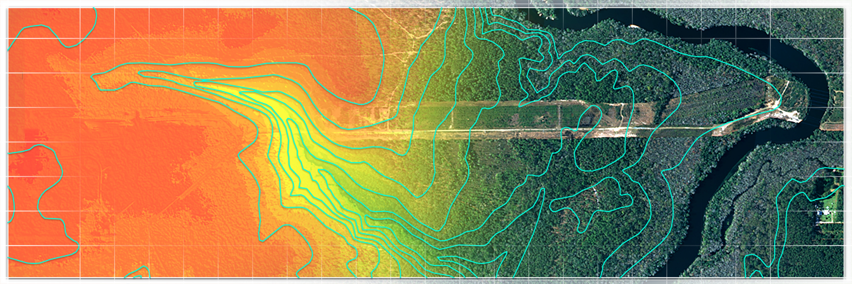
Geographic information systems (GIS)
View and download basemaps, imagery, indexes, land use and other tools from the District, state and federal sources for many mapping needs.
Groundwater resources
Groundwater data resources include flow simulation models, analytical solutions for groundwater flow problems and the Hydrogeologic Information System.
Hydrologic conditions
Hydrologic data search tools, monthly and annual details of rainfall, surface water levels and levels in areas where water is controlled.
Mitigation banking
Online map-based application to search and display information regarding mitigation banking, only lists mitigation banks permitted by SJRWMD.
SAV dashboard
Interactive dashboard displaying graphs, maps and statistics from the annual SJRWMD survey of submerged aquatic vegetation in the Lower St. Johns River and Lake George.
Southeast River Forecast Center
The National Weather Service tool for the Southeast River Forecast Center displays real-time flooding information which includes data from District monitoring stations.
Surveying benchmarks
Online map-based tool to search and display information related to surveying benchmarks throughout the District.
Water quality
Water quality reports and data search tools for current and historical surface and groundwater monitoring programs.
Water-CAT
The Water-CAT website has a searchable database and map of Florida water monitoring efforts where you can learn where monitoring is taking place, by what agency, and for what purpose.